
Well that got me thinking. What if Saint Paul did have a "sorting hat"? Which parts of the city would be which houses?
Anyway, I made a map. (I tried to make population equivalent districts.) Here you go:
 |
| [Saint Paul Hogwarts.] |
And here's the explanation:
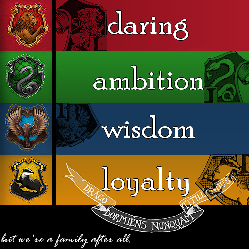 |
| [Simplest explanation of the Hogwarts houses.] |
Downtown, West 7th, West Side, and Cathedral and Summit Hills are Ravenclaw because that's where a lot of the city's "planning and thinking" goes on, and people downtown are fairly comfortable ignoring the rest of the city.
Highland Park, Union Park, and Mac-Groveland are Slytherin because of the mix of (social / political / other kinds of) aspiration combined with a sense of entitlement. You know it to be true.
Saint Anthony Park, Como, Hamline-Midway, Frogtown, and the North End are Gryffindor because of the determination and courage it takes to cross Snelling Avenue, Dale Street, or University Avenue.
Note: The exact border of Ravenclaw and Slytherin is probably debatable.
No comments:
Post a Comment